State Dept of Transportation, Highways Division, 869 Punchbowl Street, Honolulu, HI 96813. Dina U. Lau, 587-6307 issued its proposed Saddle Road (State Route 200), Mamalahoa Highway (State Route 190) to Milepost 41 Final Supplemental Environmental Impact Statement(FSEIS)and Final 4(f) Evaluation to the Governor.
The FSEIS was prepared by Geometrician Associates, PO Box 396, Hilo, HI 96721. Ron Terry, 969-7090
The following permits are necessary:
Federal: Section 106 NHPA concurrence, Section 7 ESA concurrence.
State: Chapter 6e Historic Sites Review, State Highways, National Pollutant Discharge Elimination System, Construct an Air Pollution Source, Coastal Zone Management Consistency;
County: Grading, Grubbing, Excavating and Stockpiling; Subdivision Approval
The present status is Notice of Availability. Acceptance or Non-Acceptance, will be determined at a later date
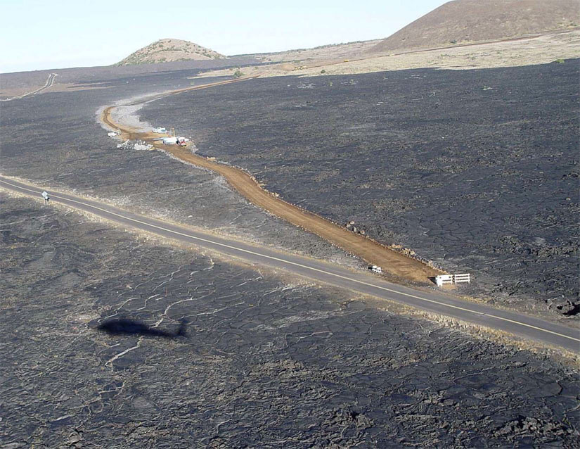
The SEIS evaluates a new alternative alignment for the proposed improvement of Section I of Saddle Road, which extends from Mamalahoa Highway near Milepost 53 to Milepost 41, making up the western end of Saddle Road, which extends in full from Mileposts 6 and 53. The existing Saddle Road, which passes through the ranching community of Waiki‘i, would remain open. Sections II, III and IV have already been completed or are advancing towards completion along the alignments identified in the 1999 Final EIS for the entire project.
In 2006, the U.S. Army purchased for military training a property known as the Keamuku parcel. However, the alignment selected for Section I of the improved Saddle Road in the 1999 Record of Decision (ROD), termed W-3, would essentially divide the Keamuku parcel in half. In order to provide a safe separation of civilian transportation and military training, the Army requested that the responsible highway agencies consider another alternative alignment near the southern boundary of the Keamuku parcel for the realignment of Saddle Road within Section I.
In Section I, the existing Saddle Road is a narrow, winding, two-lane road with steep grades, sharp curves, poor pavement conditions, and no shoulders. As with W-3, the new alignment W-7 would be a two-lane highway with shoulders, climbing lanes, and a design speed of 60 miles per hour. The realigned highway would improve pavement conditions, increase safety and capacity, improve quality of traffic flow, decrease cross-island travel times, prevent conflicts between military training and public traffic, and stimulate economic growth and development.
Environmental impacts related to wildfire potential, endangered plant and animal species, and archaeological resources will be avoided or greatly reduced through design or can be otherwise mitigated to acceptable levels.
The improvements within Section II have been totally funded through the DAR program; DAR funding must be authorized and appropriated by Congress on an annual basis. The
improvements within Section III and IV are being funded with HDOT Federal-aid highway
funds. HDOT has also committed to funding Section I. Additional or other funding of
construction within Section I is pending the outcome of this SEIS, which will determine whether W-7 is an acceptable substitute for the 1999 ROD-selected W-3.
A copy of this report can be found on the OEQC website.
No comments:
Post a Comment